
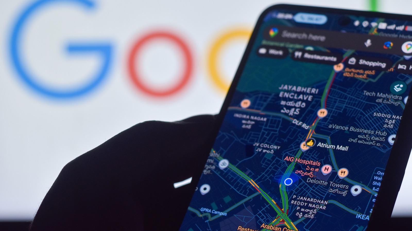
The best Android phones rely on built-in GPS to determine where you are, which is essential for turn-by-turn directions, sharing your location, finding a parked car, and staying safe if you get lost or hurt. Precise location depends largely on the phone's GPS antennas, but several settings can help improve it.
A setting called Location Accuracy Service, formerly Google Location Services, is the first step, especially indoors or in densely populated areas where GPS signals are weaker. If the location is completely wrong, the phone may have no working signal and could be showing where you last were. To enable it on most Android 12 and newer devices, go to Settings > Location > Location Services > Location Accuracy. On Android 11 and older, go to Settings > Location > Advanced > Location Accuracy. With it on, the phone uses wireless signals, including GPS, Wi-Fi, and cellular networks and towers, along with sensors like the accelerometer, barometer, and gyroscope. Google anonymously collects signal and sensor data from devices to crowdsource location estimates, similar to how Waze crowdsources traffic information.
This feature is most useful in dense urban areas with tall buildings or indoors where GPS isn't available. Also check Settings > Location and App location permissions to ensure location access is enabled for the apps you use.
For Google Maps, which now includes Gemini integration, a light blue circle around your blue dot or a "low accuracy" label means the app can't pinpoint you. Confirm that location is turned on, make sure you are connected to mobile data or Wi-Fi, and turn off Airplane Mode. If Wi-Fi is weak, try cellular data. You can also calibrate your location with Lens in Maps by pointing your camera at a nearby landmark or venue.
Source: Engadget · Summarized by HeadlinesBriefing