
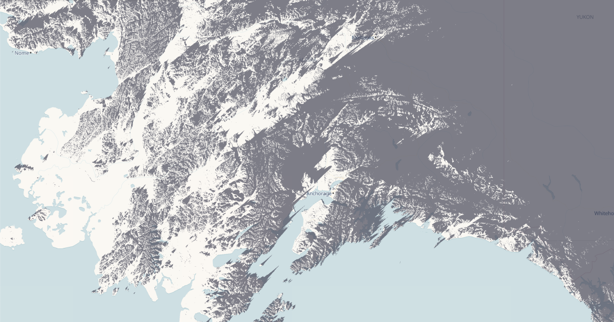
Shade Map is a web application that visualizes shade coverage using open-source mapping and solar geometry data. It helps users identify shaded areas in urban environments for better planning of outdoor activities. The tool recently appeared on Hacker News, where it garnered 35 points and 7 comments, indicating significant interest from the tech and urban planning communities.\n\nThe interactive map allows users to select any location and time of day to see how shadows move across streets, parks, and buildings.
This feature is particularly valuable for pedestrians, cyclists, and city planners seeking to reduce heat island effects and improve thermal comfort. The application uses digital elevation models and real-time sun positions to compute shadows accurately.\n\nDuring the Hacker News discussion, commenters praised the simplicity and utility of the concept, with some suggesting enhancements like adding weather data or historical shade patterns. Despite a modest number of comments, the points total shows strong engagement. Shade Map demonstrates how clever use of geospatial data can address climate adaptation challenges.\n\nThe project is available at shademap.app and remains free to use.
It represents a growing trend of using open data for environmental awareness. Future updates may include more granular time controls and integration with other urban modeling tools, expanding its value for both casual users and professionals.
Source: Hacker News · Summarized by HeadlinesBriefing