
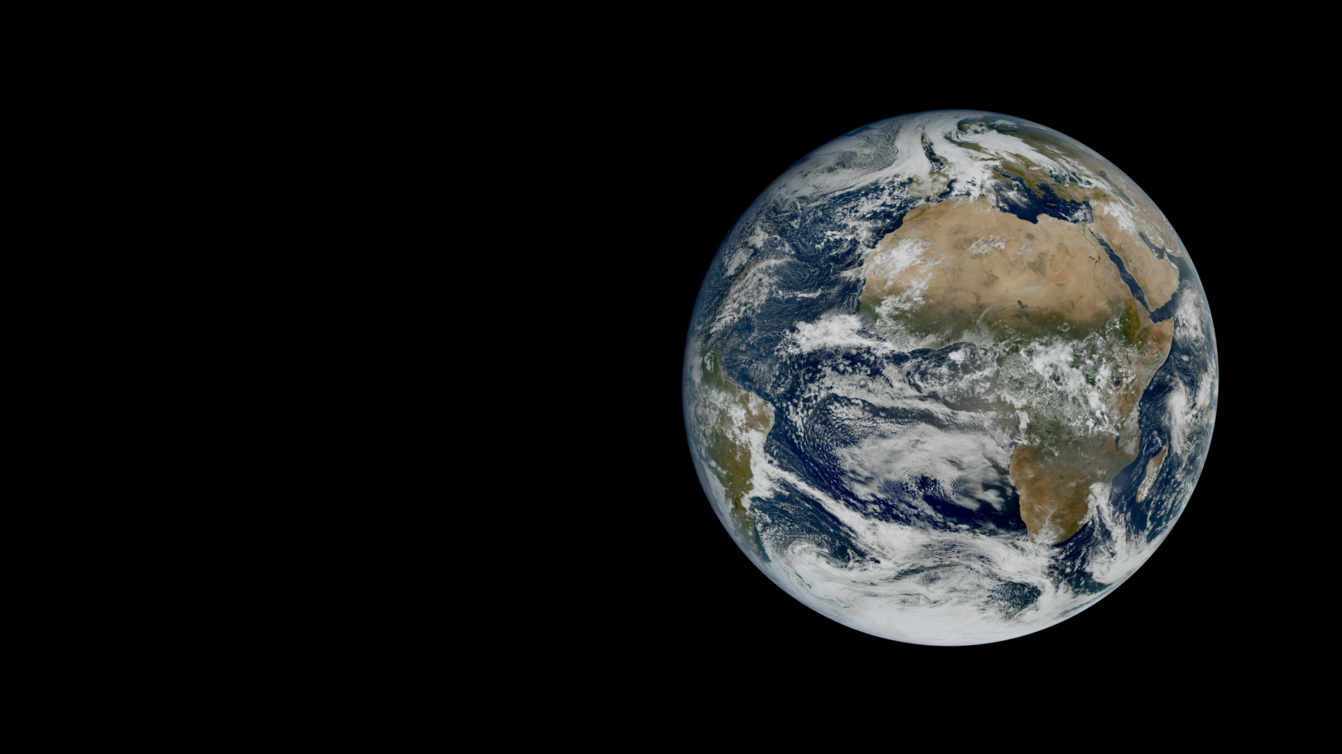
EUMETSAT has released the first images from MTG-I2, Europe's newest weather satellite. Launched on August 27, 2026, the satellite carries the Flexible Combined Imager (FCI) and will monitor Europe's weather every 2.5 minutes. The first full-disc image, captured on October 20, 2026, shows extensive cloud cover over northern Europe and the North Atlantic, contrasting with clear skies over the Sahara.
An accompanying rapid-scan animation reveals evolving weather systems, including fog over central Europe and convective clouds over the Mediterranean. A smoke plume from a wildfire in central Portugal is also visible. While the satellite is still undergoing calibration and validation, it is expected to begin operational service in the second quarter of 2027.
EUMETSAT Director-General Phil Evans stated the images demonstrate the potential for much timelier warnings of fast-developing severe weather, including storms bringing heavy rainfall, hail, strong winds, and flash floods. MTG-I2 will empower Member States with rapid scan service for improved forecasting and emergency response.
Source: Hacker News · Summarized by HeadlinesBriefing